
Full-stack geospatial services
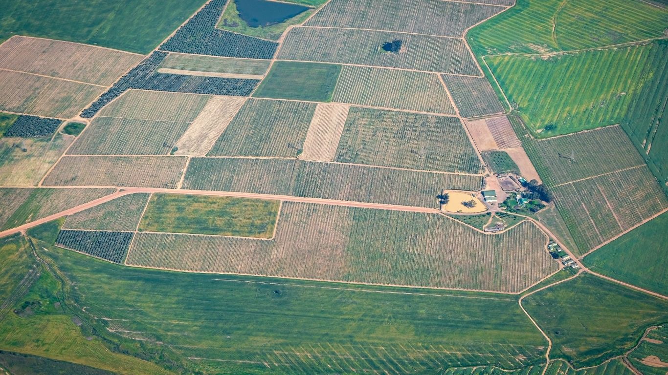
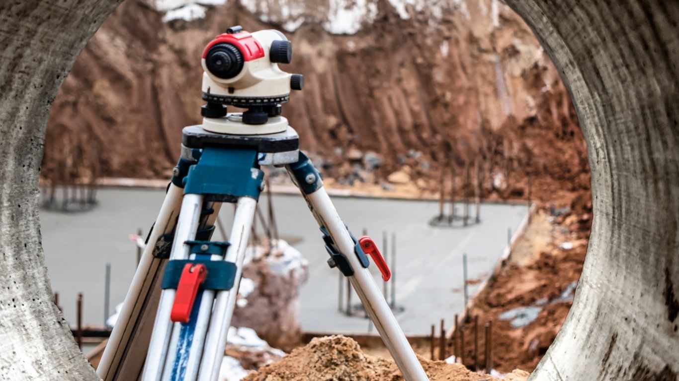
From boundary marking to 3D terrain models — we deliver across all 47 Kenyan counties.
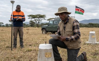
Demarcations
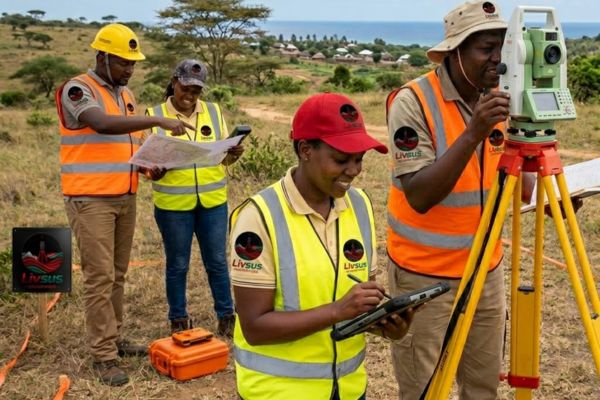
Precise beacon placement and boundary marking with sub-centimetre GPS accuracy.
Learn more

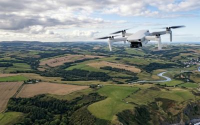
Why clients choose us
Ministry-approved accuracy
Sub-centimetre GPS precision with ISK-licensed surveyors ensuring your documents pass first time.
Real-time project tracking
Log into your client portal anytime to check project status, download documents and track progress.
Nationwide coverage
Operating across all 47 counties with teams deployed in Nairobi, Mombasa, Kisumu, Nakuru and beyond.
Fast turnaround
Most surveys completed within 5-14 business days. Urgent requests available with expedited processing.
Meet the directors

Ms. Susan Muthoni
Strategist driving Livsus' growth across East Africa with 10+ years in land business operations.

Mr. Livingstone Asala
ISK-licensed surveyor specialising in cadastral, engineering and topographic surveys nationwide.
Ready to start your survey?
Get a free quote within 24 hours. From plot owners to county governments — we deliver ministry-grade precision.